India celebrates more than 50 years of the formal practice of Urban Design in India. Over these last 5 decades, Urban Design has slowly, but surely, emerged as an integral design/planning approach looking at the urban public realm in our Indian Cities. Within this important milestone, the Second Urban Design National Conference or IUDI NATCON 2023 was held at Panaji, Goa on September 29-30, 2023 at the beautiful Hotel Cidade Goa, designed by esteemed architect Charles Correa.
The theme for IUDI’s NatCon’s 2023 conference was decided as “Urban Design & Resilience of the Indian City” by EC-IUDI. This was imagined as an IUDI event that would be conducted by the West Zone of IUDI and located in Panjim, Goa. The last NatCon was organized by the South Zone of IUDI at Kollam, Kerala. Anup Gadgil from Goa and Dwaipayan Chakravarty from Pune were selected to be Convenor and Co-Convenor respectively. IUDI presently has around 9 Centres/Chapters in India and another Global Group based in Doha. A Young Urban Designers (YUD) Award was also conceptualised by the Organising Committee including IUDI President Arunava Dasgupta, Anup Gadgil, Anurag Chawfla and Goa College of Architecture, to encourage student Urban Designers to work on real urban design projects for a few days, leading up to the NatCon event. One of the sacrifices we had to do because of lack of significant sponsorships, is the culling of this YUD awards program for now.
India celebrates more than 50 years of the formal practice of Urban Design in India. Over these last 5 decades, Urban Design has slowly, but surely, emerged as an integral design/planning approach looking at the urban public realm in our Indian Cities.
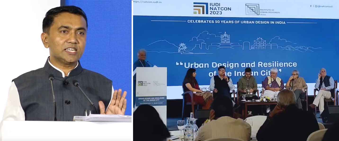
 Right: Panel Discussion on ‘Mainstreaming the practice of Urban Design in India & its Future” by (from L-R) Jasmine Saluja, Abhay Purohit, Milind Ramani, Ujan Ghosh, Sanjay Kanvinde, and Rajender Singh. |
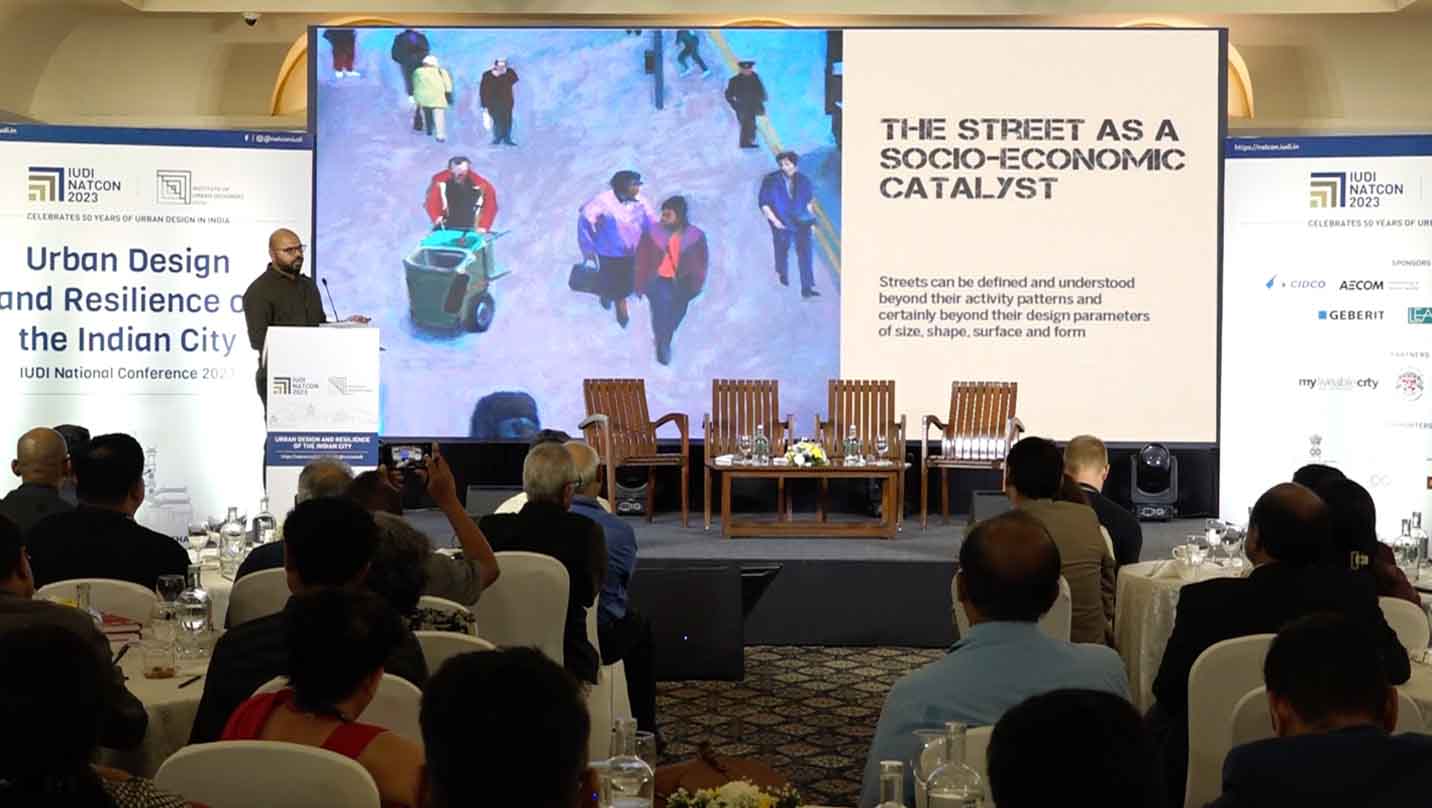
The conference itself may be summarised as a very successful event that was well received by all attendees. The IUDI NatCon at Goa brought together practicing urban design professionals, students, academicians, bureaucrats and elected representatives to discuss and deliberate upon ways, means and processes to make Indian cities resilient to the emerging climate crisis and other rapid changes / issues that impact the urbanity of cities in our countries. Over 220 delegates, speakers and thinkers of National and International repute shared their practical experiences and thoughts on resilience of cities and the climate crisis over two days. The Chief Minister of Goa was the chief guest, Joint Secretary of MHoUA was our Guest of Honour (online) and so was President, CoA, senior architects and designers from across the country, Deputy Director of AIILSG and many more. Volunteers manned the Registration Desk and the organising committee ensured things were under control inside and outside the hall. There was an event management agency appointed that worked closely with the Cidade Banquet staff to manage AV equipment and connections, stage management, all photography / videography and in-hall setups. Along with the appointed session MC, the event moved mostly to schedule. The quality of the presentations and the speakers ensured the vast majority of the attending delegates were glued to their seats for the duration of the event. Two stalls – one of IUDI with all Chapters/Centres highlighting their work as well as one by AECOM, one of our sponsors, were also made available within the conference venue. The Streets for All book by MyLiveableCity was made available at the stalls for purchase along with their biannually published magazine issues, both receiving great interest from the audience.
Two institutes – MyLiveableCity and Manipal School of Architecture & Planning – were formally inducted into IUDI as Institutional Members. MyLiveableCity (MLC) and Urban Update were media partners of the event.
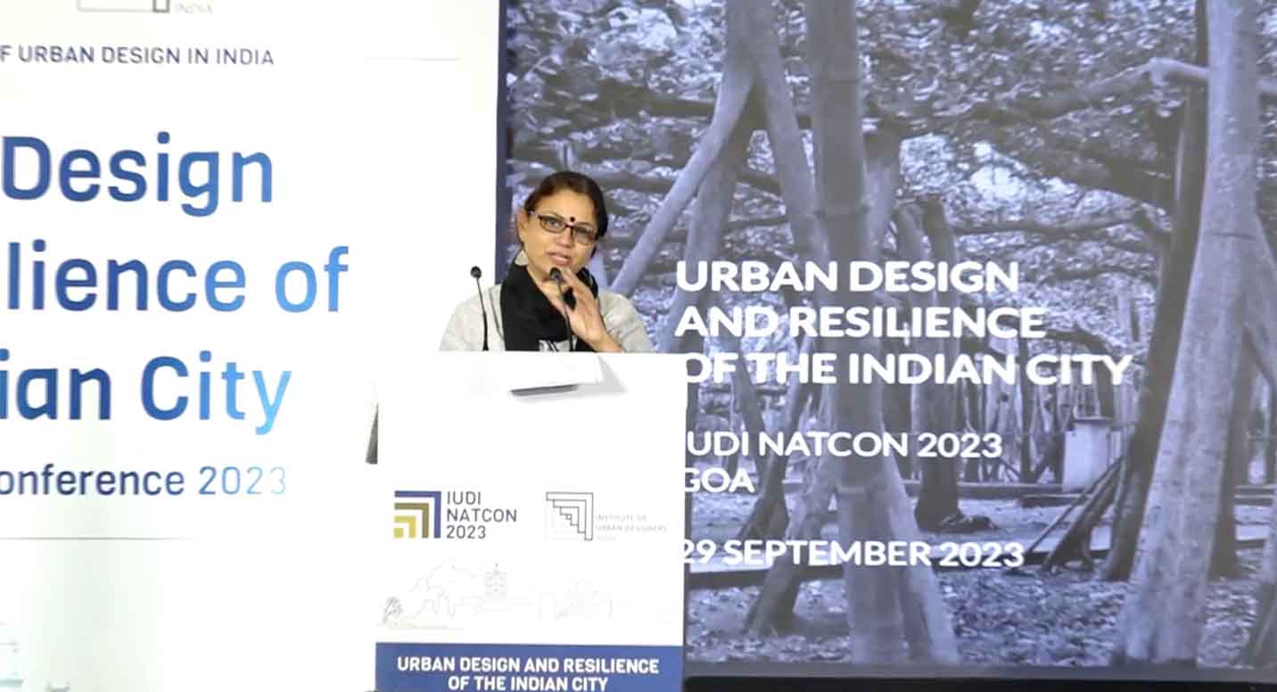
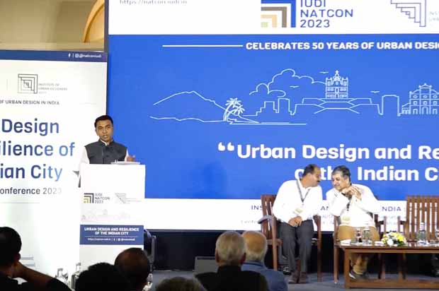
Both the technical-session days were opened with a ‘Talk of the Day’ by Arunava Dasgupta, President IUDI, who extorted the audience and speakers to focus on the connection between Urban Design and Resilience issues. He urged the Speakers to go beyond mere description and manifestation of the problem of Resilience and concentrate on this connection. His address highlighted the triple ideas of “rebound, re-coil and leap” – ways in which a post-disaster city could recover and move forward! The IUDI President’s constant refrain, over the two days was to find and articulate the relation between urban design and resilience – an aspect he felt had constantly been side-stepped in most discourses around resilience. Topics ranged from Environment to Mobility, Social & Cultural Resilience, Policy and Legislation, Public Art, Architecture and many more, with interesting, short presentations by a range of talented speakers from each domain. The Chief Guest, Hon. Chief Minister of Goa – Shri Pramod Sawant, spoke passionately of how good urban design is helping to shape our cities, helping Goa as well in the Smart Cities programme. Shri Kunal Kumar (IAS) - Joint Secretary & Mission Director (Smart Cities Mission), Ministry of Housing and Urban Affairs, Government of India – as Guest of Honour, spoke online on four parameters to achieve holistic urban realms. There was a beautiful tribute moderated by former IUDI President Prof. K.T. Ravindran to the close relationship between Er. Mahendra Raj and Ar. B. V. Doshi – doyens and pillars of our architectural profession in India. He was intimately supported by Ms. Vandini Mehta – daughter-in-law of Er. Mahender Raj and by Prof. Anantha Krishna, former H.O.D. of Architecture Department of CEPT. Sh. Esben Neander Kristensen, Partner & Urban Design Director from Gehl (Netherlands) gave the keynote address with examples of Gehl’s work on multiple cultural communities around the world. Sh. Naresh Narasimhan – senior architect and designer from Bangalore highlighted the value of community-centric urban design focusing on the redesign and development of a nala flowing through the city. Similarly, Sm. Geeta Wahi Dua, one of the editors of LA Journal highlighted various dimensions of Nature and the City.
After each topical session, senior members of the Institute summed up the individual presentations by moderating a panel discussion that ensured that discussions could conclude in a particular direction. Also, each Presenter was felicitated with a beautiful commemorative memento from Goa’s own Mario Miranda’s collection. Two institutes – MyLiveableCity and Manipal School of Architecture & Planning – were formally inducted into IUDI as Institutional Members. Urban Update, MyLiveableCity (MLC) were media partners of the event.

Members of the Core Team at MyLiveableCity, including Vinayak Bharne, Chetan Kulkarni and Jagan Shah participated over both days of the conference. On the first day, Chetan Kulkarni on behalf of MyLiveableCity, accepted a plaque of IUDI membership as an Institutional Member. Vinayak Bharne, Executive Director at MyLiveableCity, gave a Keynote Address regarding Perspectives on Global Urban Design Practice. Chetan Kulkarni, Chief Editor for Digital Platforms at MyLiveable City, gave an overview of the book “Streets for All: 50 Ideas for Shaping Resilient Cities” speaking about various facets of streets including public realm, landscape and ecology, urban form and innovative infrastructure. Kulkarni followed this up on the next day with a second presentation of urban design mixed-use projects for sustainable communities driven by new mobility corridors. Jagan Shah, Advisor to MyLiveableCity, presented the idea of ‘The Slow City’ under the rubric of Governance and Policy Frameworks for resilient cities. The aforementioned MyLiveableCity members took this opportunity to announce “The Slow City – A Conclave for Solutions” organized for the second half of 2024, which garnered interest and appreciation for the topic and event of this announcement.


Cidade de Goa’s banquet and food division arranged a lavish spread of lunch on both days, and dinner, additionally, on the first day. They also arranged tea/coffee with some cookies during scheduled tea times.
The third day was effectively a half a day of involvement, with a General Body Meeting of IUDI Members only. There were almost 75-80 people in attendance where The Hon. President – IUDI chaired the meeting and Vice Presidents, Hon. Secretary, Jt. Secretary and Treasurer formed the panel of the meeting. The annual statement of expenses was presented by IUDI Treasurer while the IUDI National Conference and its outcome was also well summarised. Each Chapter / Centre came forth to briefly present some of the events undertaken by them over the last year. While doing so, the Kolkata Centre, confidently volunteered to host the next National Conference at Kolkata, the proposal being happily accepted by all. Amidst some summaries, the floor was made open for all Member attendees to voice their concerns about various aspects of both the profession of Urban Design and the role of IUDI, in the coming years. This discussion went on for quite a while, with each point being diligently noted by the Chair, in an effort to possibly incorporate some of the views in the coming months.
All photos : Institute of Urban Designers, India and Chetan Sodaye


Comments (0)